

TP-DP-Village GIS Maps
All TP, DP and village land, on a live map.
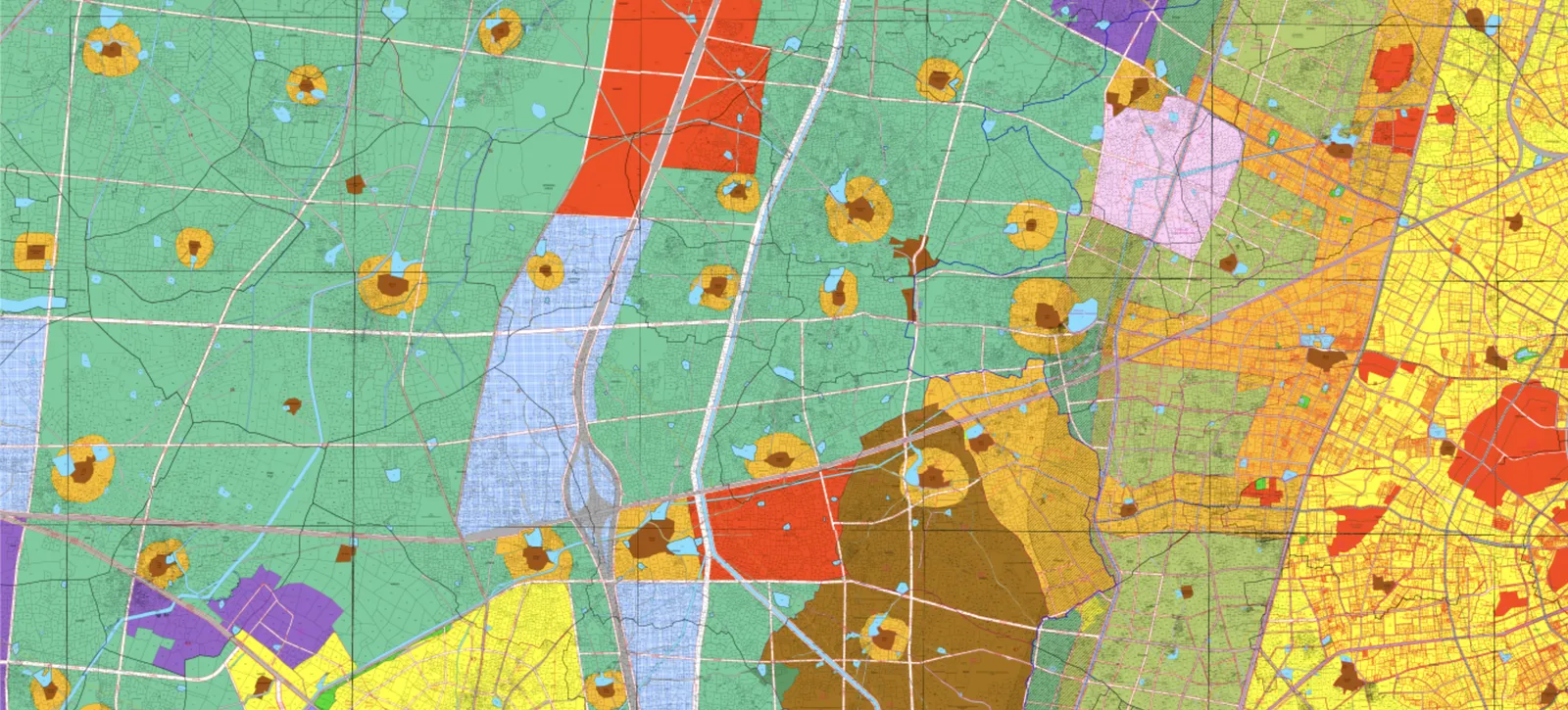
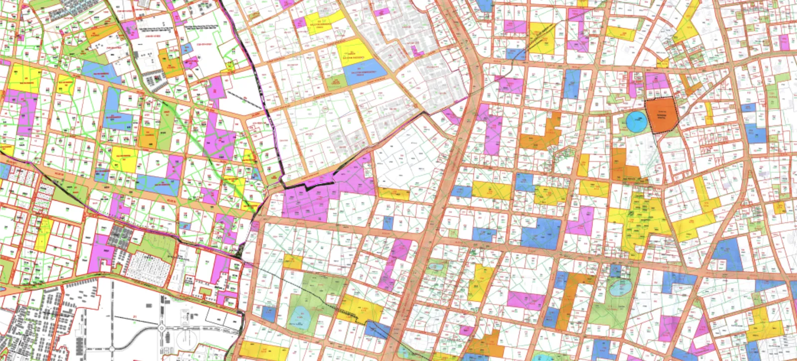
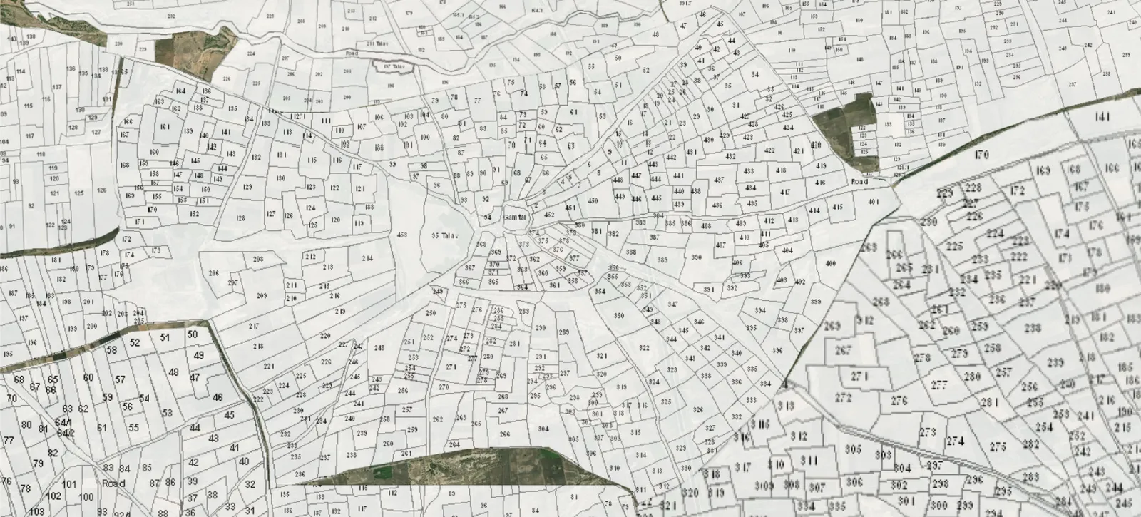
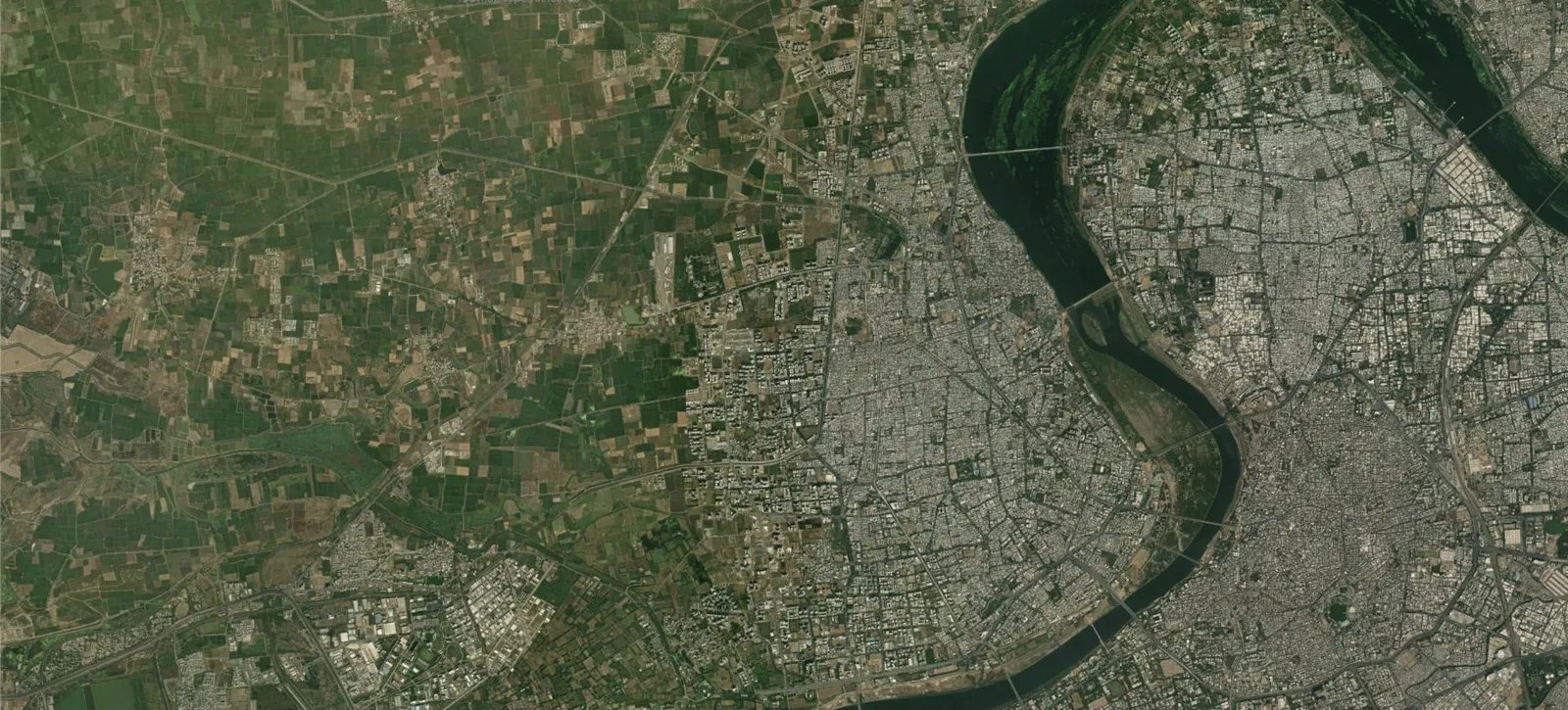
Town planning and development plan maps for Surat, Ahmedabad, Vadodara, Rajkot, Bhavnagar, Dholera and all major towns, plus village maps for 14,000+ villages across Gujarat, over satellite imagery.
- 1Search.Type a place, TP scheme, FP/OP or survey number.
- 2Pick a layer.DP, TP or village map, over satellite imagery.
- 3Tap the plot.See its area, zoning and plan, and share it.
Check any plot, from your desk.
01/08Search by place, TP scheme, FP/OP number or survey number
Across Gujarat
Town planning and development plan maps for Surat, Ahmedabad, Vadodara, Rajkot, Bhavnagar, Dholera and all major towns, plus village maps for 14,000+ villages across Gujarat, over satellite imagery.
One account, on web and app
Sign in with your mobile number. The same account works in the My Estate Point app, and GIS Maps is included in your membership and free trial.
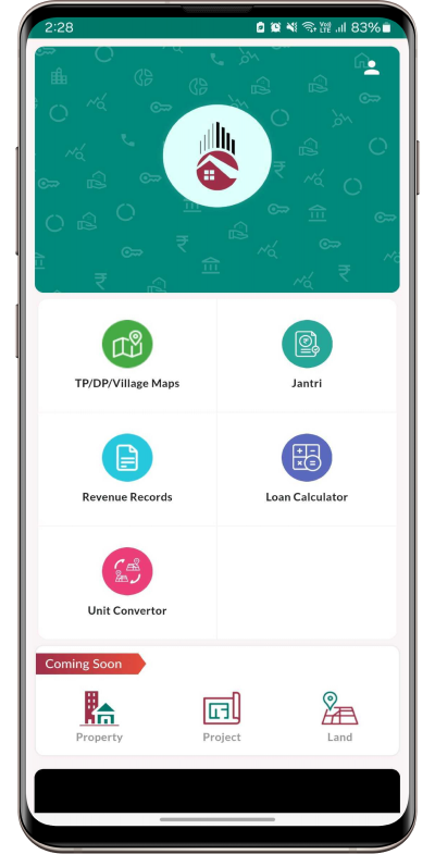
Try My Estate Point Free
Explore My Estate Point and discover the tools and information available to support your land-related needs. Start your free trial today.